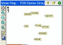
MAGNET Field is a powerful and intuitive field application that enables users to collect survey mapping data and perform construction and road layout using total stations, levels and GPS. Users can create a three dimensional surface from their field measurements, optionally then have contour lines drawn on this surface and finish by deriving a Volume Report all while still standing at the project site.

It allows you to test an environment based on the Ranger Data Collector device.
Comments